

Return to the Chaw Raw Hill and Indians page

Return to the Chaw Raw Hill and Indians page
On page 204, in his discussion of OXFORD Township, MacLean presents a drawing of an Indian-built land formation.
This sketch places the Indian land formation to the east of a loop in the Four Mile Creek.
MacLean describes this site as "an ancient fortification" that "occurs on the land of H.H. Wallace."
MacLean's inclusion of the map and the accompanying narrative in the Oxford Township section of his book places the entire structure inside Oxford Township.
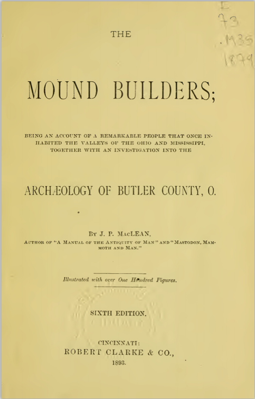
RIGHT: This is an image of the title page in J.P. MacLean's 1893 book about mound builders in Butler County (Ohio).
MacLean wrote a book about the archaeology of Butler County (Ohio) as it existed in the 1890s.
His book, which was published in 1893, describes his personal observations of land formations and artifacts left behind by Indian tribes that are often described as "mound builders." MacLean visited and reported on his findings for all 13 townships in Butler County.
This webpage provides excerpts (below) from the MIlford Township section of MacLean's book.

Click the following link to access a complete copy of MacLean's book, which is downloadable in PDF format.
As seen in MacLean's excerpts about Milford Township (below), he describes the presence of Indian land formations in the eastern (Collinsville and Somerville) areas.
However, MacLean does not mention any Indian land formation in the western part of Milford Township - despite evidence of an Indian fortification that straddled the southwestern border of Milford Township.

MacLean's failure to mention an Indian fortification in southwestern Milford Township likely stems from his mistaken belief that the entire site was located west on the township line...in Oxford Township.
The land formation site was likely located in the southeast corner of Oxford Twp. AND the southwest corner of Milford Township - as noted on the drawing at the left and on McBride's 1836 map

In his narrative, on page 204 (left), MacLean refers to both features being located in "section thirty-six" - which places them in the southeastern corner of Oxford township.
The fortification likely stood in the southeast corner of Oxford Twp. AND the southwest corner of Milford Twp, as noted on the drawing in the "Overview" section of this webpage (above) and in McBride's 1836 map.
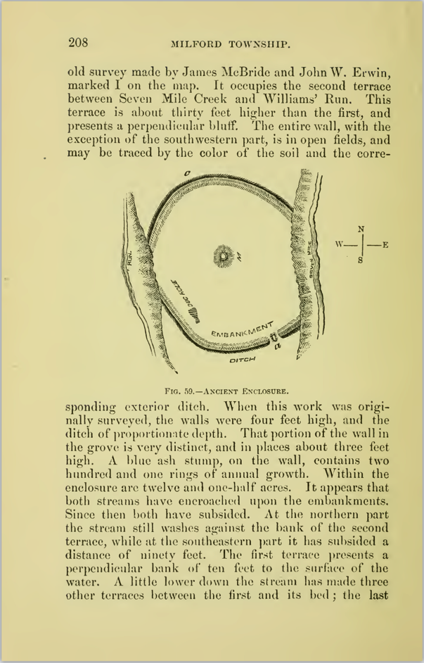
Within his four-page discussion of Milford Township, which begins on page 207 (right), MacLean DOES NOT mention the loop in the Four Mile Creek loop that crosses and recrosses the line between Oxford and Milford townships, nor does he refer to the Indian fortification that stood near the loop.
Instead, as noted above, MacLean discussed the loop in the creek and the Indian-made fortification in the Oxford Township section of his book (pages 203-207).
This arrangement of content likely resulted from MacLean not knowing the exact location of the north-south line that divides Oxford and Milford townships and he erroneously believed that the entire Indian-built land formation was located inside Oxford Township.
From the middle of page 203 to the middle of page 207, MacLean describes the features of Oxford Township, which includes the following statement about the Indian fortification and Chaw Raw Hill.
"We learned that the fort is known in the vicinity as 'Chaw Raw Hill,' deriving the epithet from some early travelers who encamped there and eat their food without being cooked." (page 205)
To see the entirety of MacLean's text about Oxford Township, please access the PDF version of MacLean's book.
On page 207, MacLean concludes his discussion of Oxford Township and turns to Milford Township.
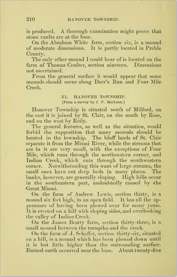
On page 210, MacLean concludes his discussion of Milford Township and turns to Hanover Township.
To see the entirety of MacLean's text about Hanover Township, please access the PDF version of MacLean's book.

BELOW: Image of MacLean book cover