

SECTION 20
of Milford Township
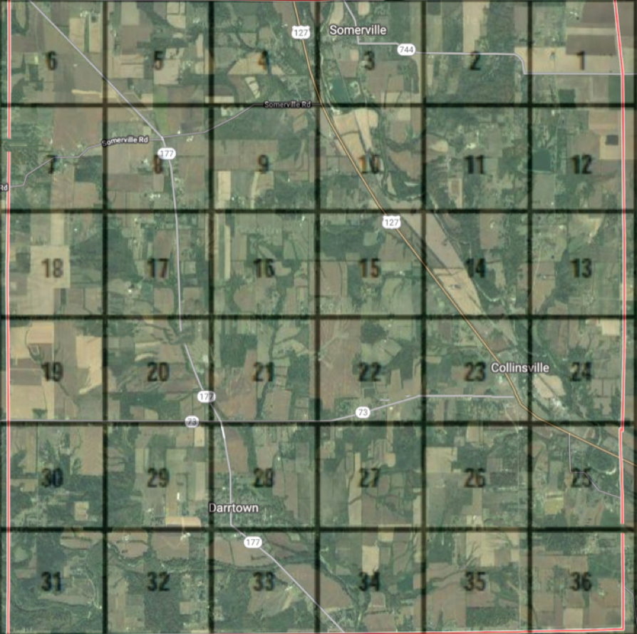
The following is an aerial image of Milford Township, with an overlay of section lines.
Section 20 is highlighted to help identify its location.
A bit of Section 20 history appears below the map.
Click the followng link to see a page devoted to terms used in identifying township properties.
A BIT OF SECTION 20 HISTORY
On September 1, 1811, Abel Stout purchased all of Section 20 (640 acres) from the United States government.
On August 4, 1812, Mr. Stout sold the northwest quarter of Section 20 (160 acres) to Wm. Sutton.
On July 15, 1816, Mr. Stout sold the northeast quarter of Section 20 (160 acres) to Geo. Kramer.
Over the course of time, Section 20 was further sub-divided and sold to additional owners. One subsequent landowner in Section 20 was Josephus Ditman, who came to Milford Township in 1874, as a farmhand. Eventually, Mr. Ditman owned three parcels of land in Section 20. See more information at the Ditman Farms page.
The story of how other persons owned, or now own, land in Section 20 will be told as information becomes available. If you have information to contribute about this subject, please use the link in the footer of this page to contact the webmaster.
In Ohio, each township measures six miles in length and six miles in width; hence each township contains 36 square miles.
Each section is one square mile; i.e., one mile in length and one mile is width. Each section contains 640 acres.
Go to the Research page.
Go to the Research page.